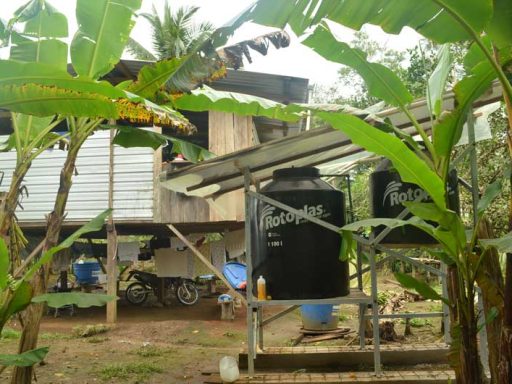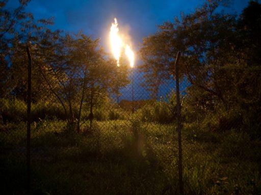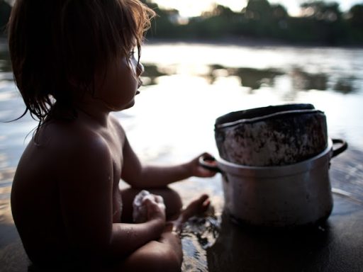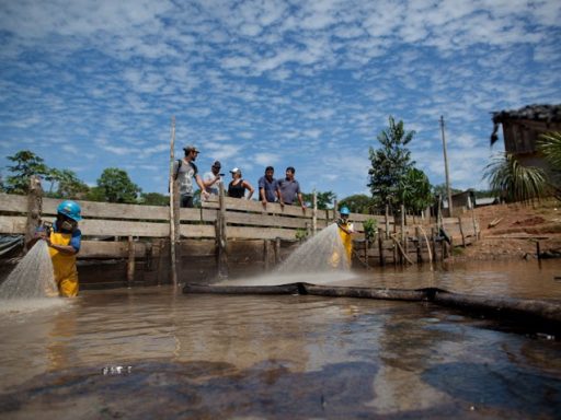
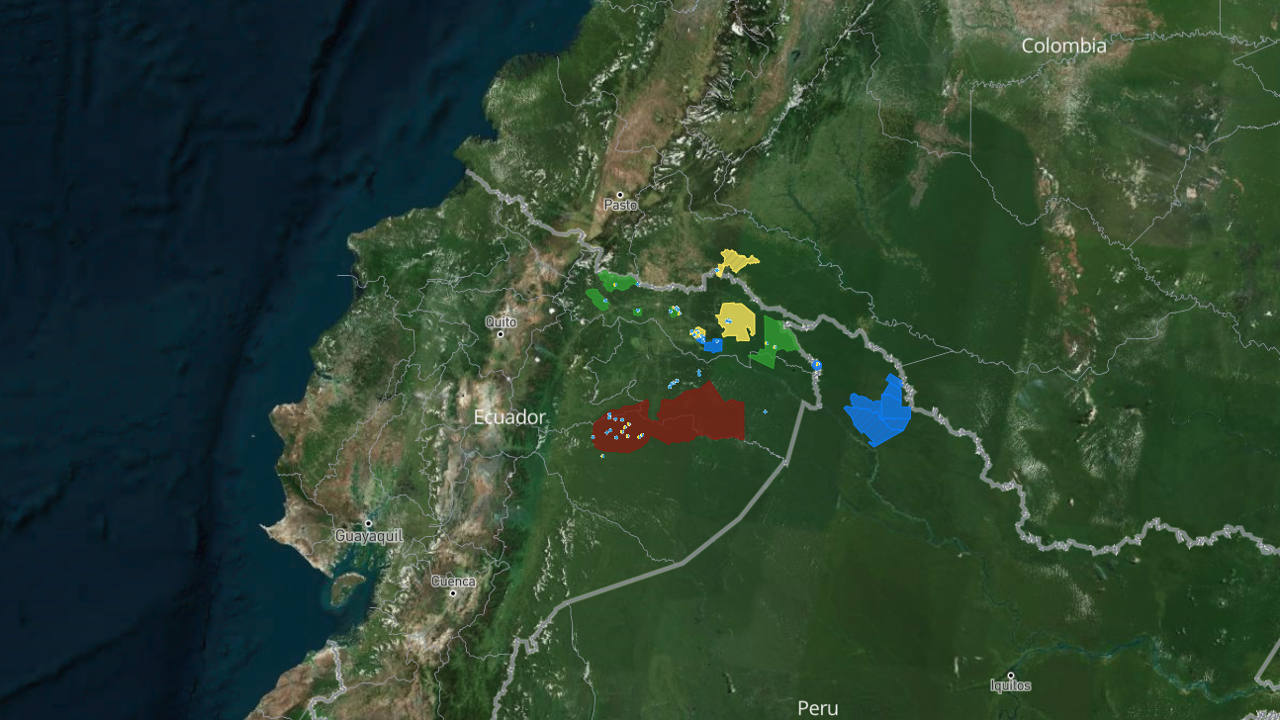

The ClearWater map is an interactive, story-driven platform built in partnership with Digital Democracy that brings the reality of life in Ecuador’s northern Amazon to audiences around the world. Rather than presenting a static set of pins on a page, the map unfolds as a guided narrative — as the reader scrolls, the map itself moves, carrying them through the rivers, villages, and territories of the Cofán, Siona, Secoya, Kichwa, and Waorani peoples. Photographs, GPS-logged locations, and firsthand stories from residents combine to trace both the scope of the oil contamination crisis and the on-the-ground progress being made to solve it.
What makes the map distinct is where its content comes from: not a communications team working remotely, but the local field technicians building the water systems themselves. As each new rainwater-harvesting system is completed, community members log a GPS point and a photo directly into a shared spreadsheet — and the map updates automatically, in near real time. This means supporters anywhere in the world can watch ClearWater’s progress unfold community by community, system by system, exactly as it happens on the ground in the Amazon.
Gregor MacLennan, the map’s chief architect and Digital Democracy’s Program Director, built the tool specifically to challenge the conventions of online mapping, designing it so that “the stories are part of the map, rather than the other way around.” The result is more than a project tracker — it’s a window into daily life on a shifting frontier between rainforest and industrial development, letting people who will never visit the region see, in vivid and specific terms, both the damage oil drilling has caused and the resilience of the communities responding to it.