Explore ClearWater’s Work
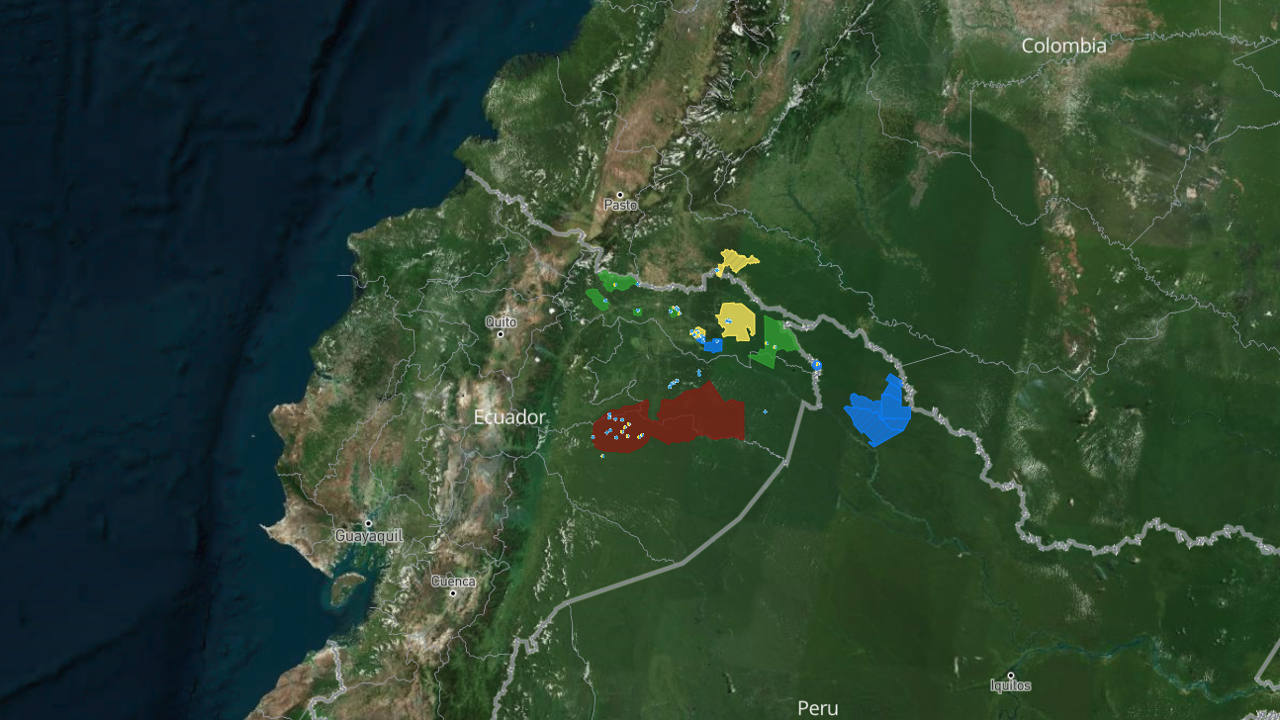
This interactive map tells the story of ClearWater’s work with Indigenous communities across Ecuador’s northern Amazon — one rain catchment system, one village, one family at a time.
Unlike a typical map, this one is built to be read like a story. As you scroll, the map moves with you — guiding you through the communities where we work, along the rivers where contamination runs deepest, and into the villages where clean water systems are changing lives.
What you’ll find on the map:
- Community locations — GPS-mapped villages across Cofán, Siona, Secoya, Kichwa, and Waorani territory where ClearWater has installed rainwater-harvesting systems
- Photos from the field — images taken by local community technicians documenting each new water system as it’s built
- Personal stories — firsthand accounts from residents like Emergildo Criollo and Guillermo Grefa about life before and after access to clean water
- Contamination sites — locations where decades of oil drilling have left rivers and streams unsafe to drink from
- Real-time updates — as our field teams complete new installations, they log GPS coordinates and photos directly from the community, and the map updates automatically
This map is built and updated by the people who need it most. Every point you see was logged by a local technician standing in that exact spot — which means every time you explore it, you’re seeing ClearWater’s progress as it happens, not just where we’ve been.
Built in partnership with Digital Democracy.